The road east
The Via Egnatia begins at the water's edge — not at a city gate, but at a crossing.
- Entry
- C.1
- Where
- Durrës to Byzantium
- Period
- Roman, from the 2nd century BCE
- Section
- The Via Egnatia
01A road with two harbours at its mouth
The Romans completed the Via Egnatia in the second century BCE, running it from the Adriatic coast eastward through Macedonia and Thrace to Byzantium — a distance of roughly 1,120 kilometres. The road is named for the governor who built it, Gnaeus Egnatius, though little else about him survives. What survives is the line: its surveyed straightness where terrain allowed, its diversions where it did not, and the towns that rose at its way stations.
The road did not begin at a single point. It had two western termini, both on the Albanian coast: Dyrrachium, the city now called Durrës, in the north, and Apollonia, reached from the port of Avlona — today's Vlorë — in the south. Travellers landed on one shore or the other, depending on winds and season, and the two branches converged inland before a single line continued east. This double mouth was not indecision; it was redundancy, built for a road the Republic and then the Empire needed working at all times of year. The Strait of Otranto is the narrow water these travellers crossed, and whoever commanded that strait commanded the road's first step.
- Mid-2nd century BCEVia Egnatia constructed under governor Gnaeus Egnatius
- 48 BCEPompey and Caesar both manoeuvre forces along the road before Pharsalus
- Late antique periodRoad becomes primary western approach to Constantinople/Byzantium
- 11th–12th century CECrusader armies use Albanian landing points and the Egnatia route
- Ottoman periodRoad maintained as part of Balkan postal and military network
02What the road did, and what it made
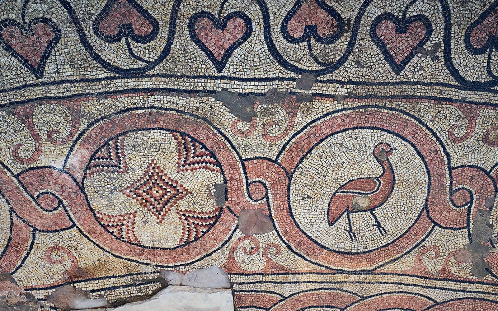
Militarily, the Via Egnatia allowed Rome to move legions from Italy into Macedonia and Greece without the delays of the Aegean. Mark Antony used it; so did Pompey and Caesar, whose armies both marched its surface before their forces met at Pharsalus in 48 BCE. Augustus later ran imperial communications along it. But the road also generated civilian traffic at a scale that changed the coastal settlements. Dyrrachium became a substantial city: its position as the Adriatic terminus of the road explains the amphitheatre still visible beneath it, and the mosaic floors found in the buildings of its prosperous classes.
The way stations spaced along the road followed a consistent logic — roughly a day's march apart, close enough to reach before dark. Each station anchored a settlement, and those settlements in turn attracted artisans, traders and inns. The spacing is readable in the landscape still: settlements where the Via Egnatia crossed rivers or topped passes tend to remain inhabited today, while those that the road bypassed did not. The road was not just infrastructure; it was an economic argument for where a town should stand. What a road does to a town is a question the Egnatia answered repeatedly across its length.
03The line after Rome
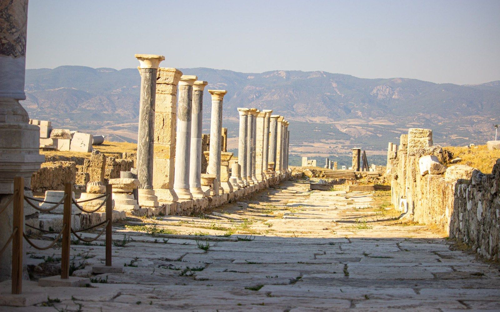
The road did not stop when Rome did. The Byzantine Empire used it, and used it heavily, because Byzantium stood at the road's eastern end. Constantinople — the city the road was originally built to reach — became the destination of an imperial communication system, and the Via Egnatia remained its western limb. Crusader armies marched it in the eleventh and twelfth centuries, using the same Albanian landing points the Romans had used a thousand years before. The route was simply too logical to abandon: there is no good land alternative between the Adriatic coast and the Bosphorus, and the Via Egnatia had already done the work of finding the easiest grades.
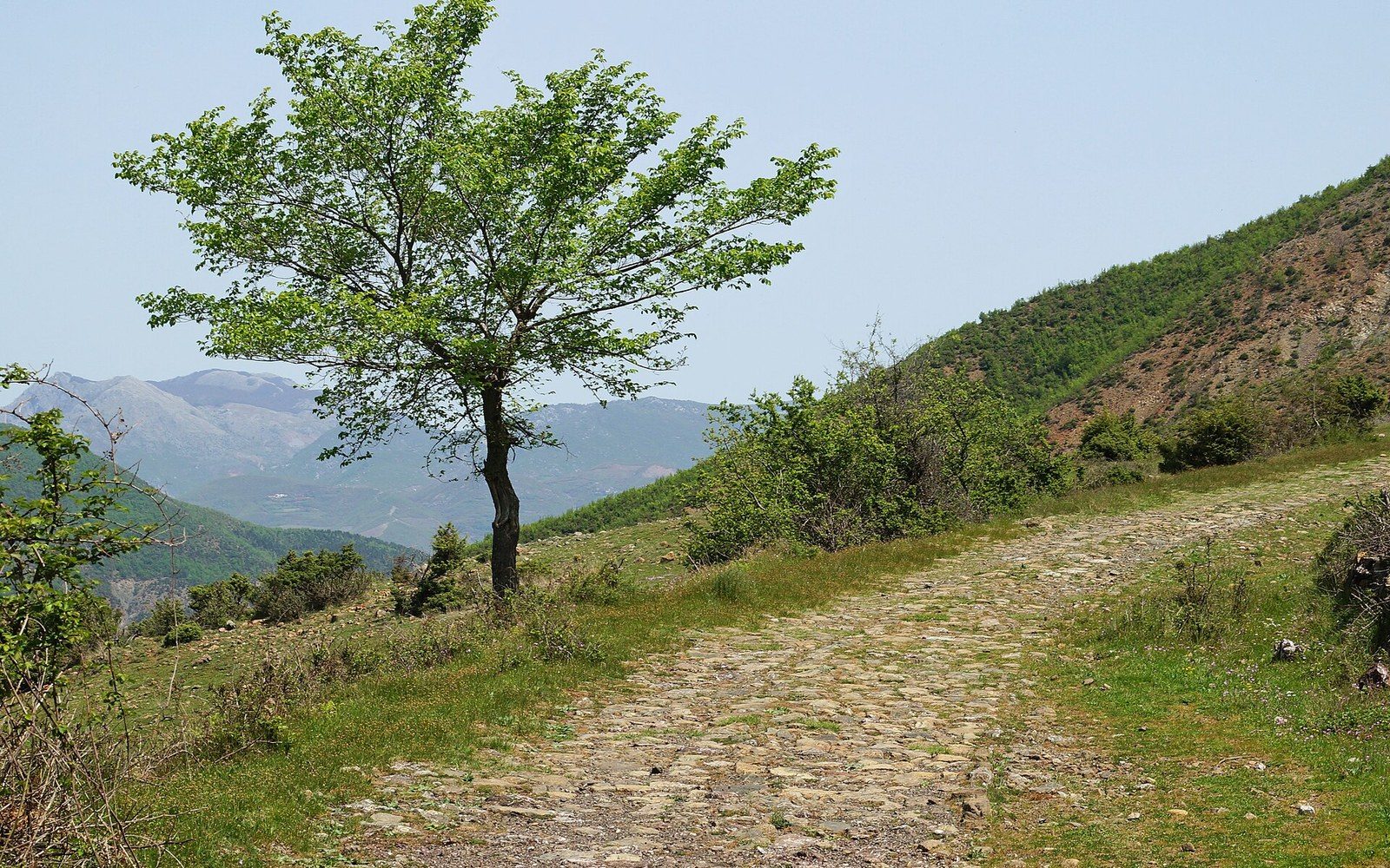
The Ottomans maintained the road through their own postal and military system. Parts of it became the spine of the later Ottoman network through the Balkans. Some sections survive in the landscape as sunken tracks worn deep by centuries of passage; others lie under modern asphalt, visible in the straightness of the alignment where surveyors with different tools and different centuries arrived at the same conclusion.
What the road moved — grain, correspondence, armies, pilgrims, merchants, building techniques, liturgical practice — is harder to map than its surface but more consequential. The corridor it created between the Adriatic shore and the eastern Mediterranean was not merely a Roman project: it was a durable fact of geography that different empires organized around in turn. The eastern shore of the Adriatic was its starting gate. Everything else — the legions, the commerce, the cultural movement in both directions — passed through that gate because the road said so.
- Dyrrachium (Durrës)
- northern Adriatic terminal, the larger port
- Apollonia / Avlona (Vlorë)
- southern terminal, reached via a separate branch
- Inland junction
- the two branches converged before the road continued as a single line east