Apollonia
A Corinthian colony whose harbour silted out, leaving one of antiquity's more complete civic centres stranded in Albanian farmland.
- Entry
- B.2
- Where
- Above the Vjosa, Fier
- Period
- Greek and Roman
- Section
- The Ancient Shore
01The city and its site
Apollonia was founded around 588 BCE by settlers from Corinth, together with colonists from Corcyra (modern Corfu). They chose a low hill a few kilometres inland of the Adriatic coast, where the river Vjosa — known in antiquity as the Aous — gave access to a sheltered anchorage. For most of its working life the city was effectively a port, moving grain, livestock and the bitumen that seeped naturally from the surrounding plain. That anchorage is gone. Centuries of silt carried down from the Albanian interior have advanced the coastline and buried the harbour completely; the sea is now some fifteen kilometres away, and the hill sits in flat agricultural land with nothing to suggest it ever faced open water.
The city grew quickly under Greek and then Roman patronage. By the first century BCE it was large enough for Julius Caesar to quarter troops there during his campaigns against Pompey, and substantial enough that the future emperor Augustus spent time studying rhetoric within its walls. Roman Apollonia was a stopping point on the Via Egnatia, the great military highway that began at the Adriatic and ran east toward Byzantium: the city sat at or near the road's western terminus, which explains much of its commercial weight during the imperial period.
- c. 588 BCEfoundation by Corinthian and Corcyran settlers
- First century BCECaesar stations troops here; Augustus studies rhetoric at the city
- Roman imperial periodactive stop on the Via Egnatia's western route
- Late antiquityprogressive decline through siltation and seismic damage
- Ottoman periodBektashi monastery established on the hill at Pojani
- Twentieth centurysystematic archaeological excavation of the civic centre
02What survives
Decline came early. By late antiquity the combination of siltation, malaria in the coastal plain and a series of earthquakes had reduced Apollonia to a small settlement. It does not appear as a functioning urban centre in medieval sources; the bishopric that bears its name was eventually transferred elsewhere. This early abandonment is, paradoxically, what preserved it. Because no substantial medieval or Ottoman town grew over the ruins, the civic core was never quarried out or built over to the degree seen at sites that remained inhabited.
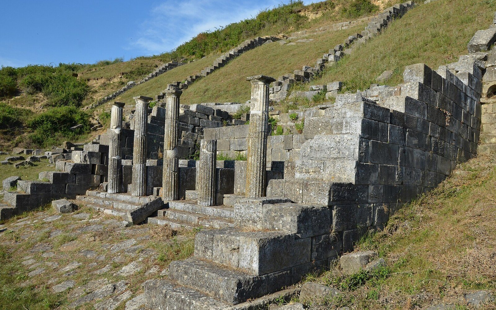
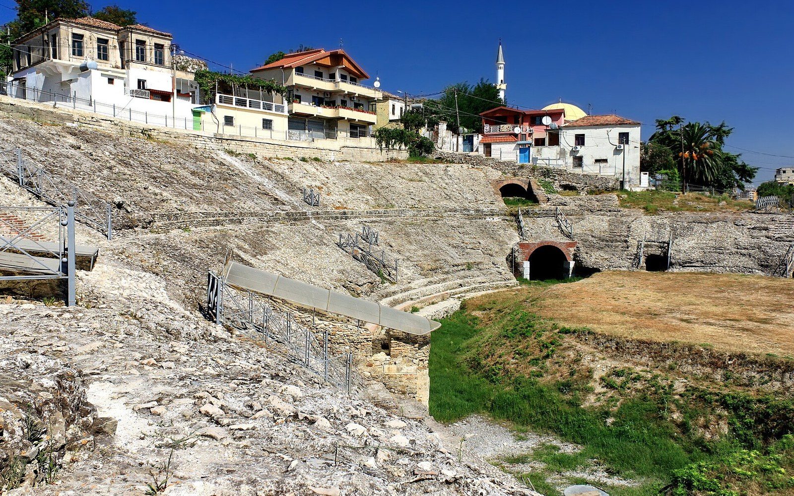
The standing remains cluster on and around the hill at Pojani, inside the grounds of a monastery built by the Bektashi order during the Ottoman period. The monastery itself — a pleasant eighteenth-century complex with a small octagonal teqe, the domed assembly hall characteristic of Bektashi foundations — occupies the high ground and gives the site an inhabited centre that most ruined cities lack. Around it, archaeologists working through the twentieth century exposed a bouleuterion, the council chamber, which survives with much of its stepped seating intact; an odeon of similar form; and a long colonnade, the portico of a principal street or forum precinct, with a good run of columns re-erected or still in position. The theatre, partially excavated, sits on the hillside to the south.
Systematic survey has established that the city walls enclosed a substantial area, most of it unexcavated.
The on-site museum, modest in scale, holds material recovered from the excavations: coins, ceramics, inscriptions and architectural fragments. The coins in particular illustrate the city's economic range — Apollonian currency circulated widely across the Adriatic world, and the characteristic cow-and-calf type appears in hoards as far away as the Italian peninsula. The natural bitumen, called naphtha in ancient sources, was exploited commercially and noted by several ancient writers; some geological evidence of the seeps remains visible in the plain below the hill, though the scale of extraction is now negligible.
The broader landscape repays attention. The hill is low enough that the farmland around it registers as a kind of negative impression of the ancient city's extent — earthworks, field boundaries that deflect slightly around buried structures, and occasional ceramic scatter visible in ploughed ground. Systematic survey has established that the city walls enclosed a substantial area, most of it unexcavated. What stands above ground is a fraction of what remains below it.
- Bouleuterion
- council chamber; the Apollonia example retains much of its stepped interior seating
- Teqe
- domed Bektashi assembly hall; the monastery on the hill contains a small octagonal example
- Apsus
- ancient name for the river Seman, which gave the city its original harbour access
- Naphtha
- bitumen seeping naturally from the Apollonian plain, noted by ancient writers and traded commercially